Ozark – St. Francis National Forest
The Ozark – St. Francis National Forest is located in the state of Arkansas, The Natural State. The two forests are on opposite sides of the state. The Ozark National Forest is mostly in the north central part of the state within the confines of the Ozark Mountains. The St. Francis National Forest is in the eastern part of the state along the banks of the Mississippi River. The National Forest Service out of Russellville manages both forests.
History of the Ozark – St. Francis National Forest
In December of 1907, President Theodore Roosevelt signed a proclamation creating the Arkansas National Forest of the land south of the Arkansas River which eventually would become the Ouchita National Forest. Then, within a few months, March 1908, he signed a proclamation creating the Ozark National Forest north of the Arkansas River. The 1.2 million acres of the Ozark National Forest contains rugged mountains, beautiful vistas, and majestic waterfalls.
The St. Francis National Forest was created by proclamation by Dwight D. Eisenhower in November 1960. The St. Francis River, the eastern boundary of the forest, is the forest’s namesake. The forestland is located mostly on the hills of Crowley’s Ridge in Lee and Phillips counties. However, some of flat lands and deltas of the St. Francis River and the Mississippi River are also included within its borders. At 23,600 acres, it is one of the smallest national forests in the United States and the only national forest that touches the banks of the Mississippi River.
Ozark National Forest
One of the most noteworthy areas of the Ozark National Forest is Mount Magazine. The mountain is the highest elevation between the Rockies and the Allegheny Mountains at 2,753 feet. One the most unique features of the mountain is that it is a Wildlife Management Area and an Arkansas State Park within a National Forest. The southern edge of the forest borders Ouchita National Forest, Arkansas’ other national forest.
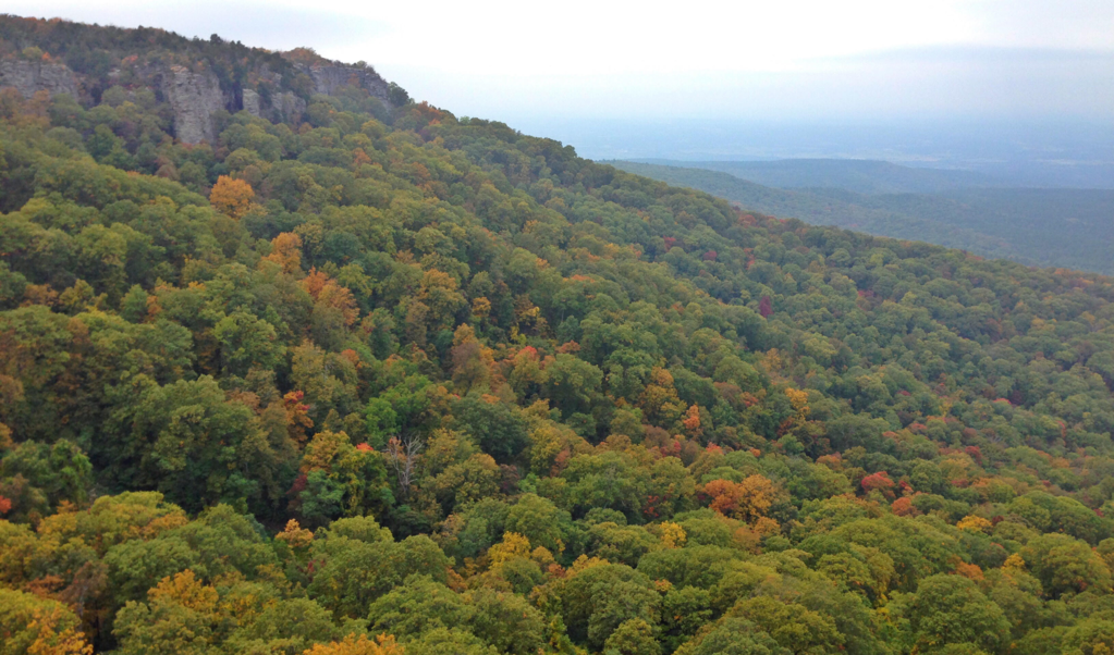
The Ozark National Forest is special in many ways, but maybe the most profound are its waterfalls. The Ozark National Forest hosts some of the most picturesque waterfalls. Tim Ernst, photographer and hiker extraordinare, published a waterfall guide book of the waterfalls of Arkansas. The second edition contains over 200 waterfalls, a large portion of them in the forest. The photo below of Bear Cave Hollow was taken by arkansas.wanderlust on Instagram.
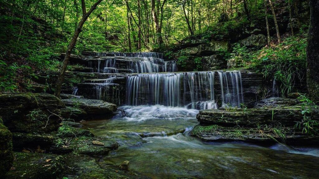
The Ozark National Forest has five designated wilderness areas that are a part of the National Wilderness Preservation System.
- East Fork Wilderness
- Hurricane Creek Wilderness
- Leatherwood Wilderness
- Richland Creek Wilderness
- Upper Buffalo Wilderness
Buffalo National River
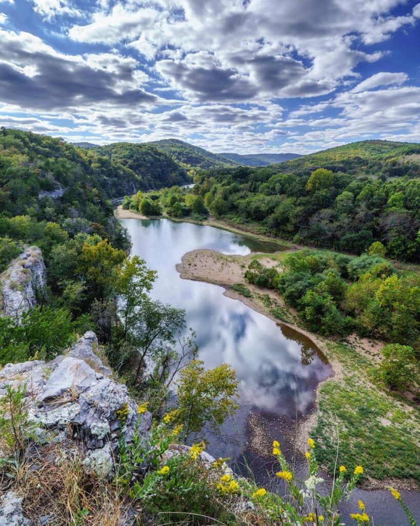
The Buffalo National River receives a special mention because of its unique importance as the first national river of the United States. The Buffalo River became the first national river of the US park system in 1972. The river flows freely for 153 miles, meandering through the Ozark Mountains towards the White River from its headwaters in the Boston Mountains. The National Forest Service oversees the upper 18 miles of the Buffalo River which became a National Wild and Scenic River in April, 1982. The National Park Service manages the rest of the 135 miles of the river. Many regard the Buffalo River as the jewel of the Ozark Mountains. In 1975, Congress designated nearly 12,000 acres surrounding the river as the Buffalo River Wilderness in 1978. The photo below was taken by our.buffalo.river on Instagram.
St. Francis National Forest
The St. Francis National Forest even though small in size packs a punch within its boundaries. While other national forests are typically abound with recreational activities, the St. Francis is known for its fishing. Bear Creek Reservoir and Storm Creek Lake provide anglers the opportunity to catch a variety of fish, such as largemouth bass, crappie, channel catfish, and warmouth. The local ranger station in Marianna maintains the forest.
National Forest Scenic Byways
Five National Forest Scenic Byways cross through the Ozark National Forest. Mount Magazine, Pig Trail, Ozark Highlands, Arkansas Scenic 7, and Sylamore Scenic Byways total 165 miles of driving through the unparalleled beauty of the national forest. While the forest is beautiful year round, autumn is the best time to enjoy the explosion of colors.
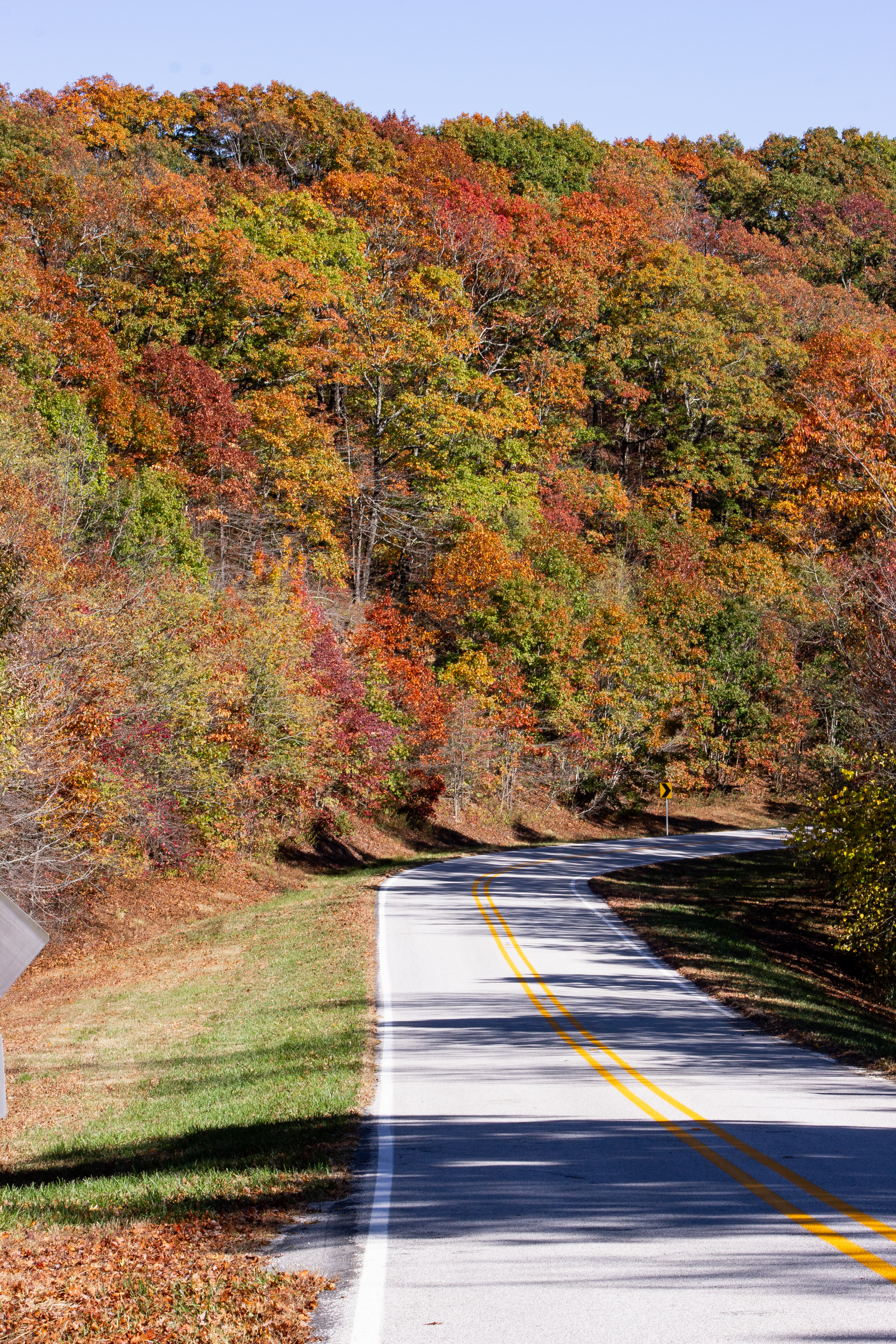
The St. Francis National Forest also has two scenic byways that runs through its boundaries. Crowley’s Ridge Parkway National Byway cuts through the heart of the St. Francis National Forest as a narrow two-lane road. The Great River Road covers a majority of the forest traveling northwest to southeast and briefly intersects with Crowley’s Ridge Parkway.
Galleries of the Ozark National Forest
- Fall in the Ozarks by Jeff Rose
- Mulberry River Autumn by Kendall Boyd